Hydrography90m layers
Here is an overview of all the current layers of the Hydrography90m dataset. Please see the paper by Amatulli et al. (2022) for further details.
For each layer, you can find below:
- an example figure
- the layer file name (with an asterisk which stands for the tile id). Clicking the file name leads to the download page for that layer (a directory containing all the tiles)
- a link to a visualization in a webgis
How to get the data
The most convenient way to download and merge tiles is by using the R package hydrographr!
If you just want to download few tiles, or have a quick look, you can click below on the tiled map to select a tile. Then, a download link for the selected tile will appear below each layer figure.
Alternatively, you can use our download script (bash) to dowloand the full data archive. If you downloaded multiple tiles and want to merge them use our merge script (bash).
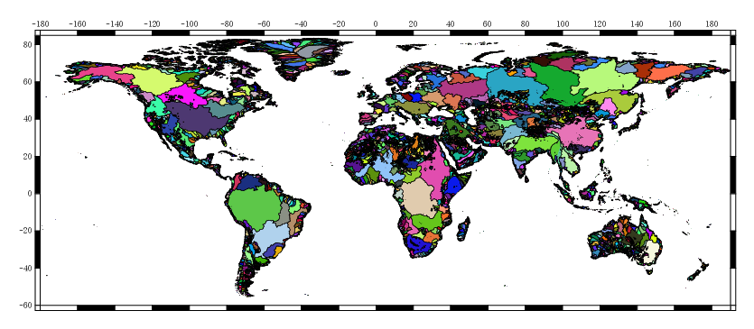
Tile map
Input layers
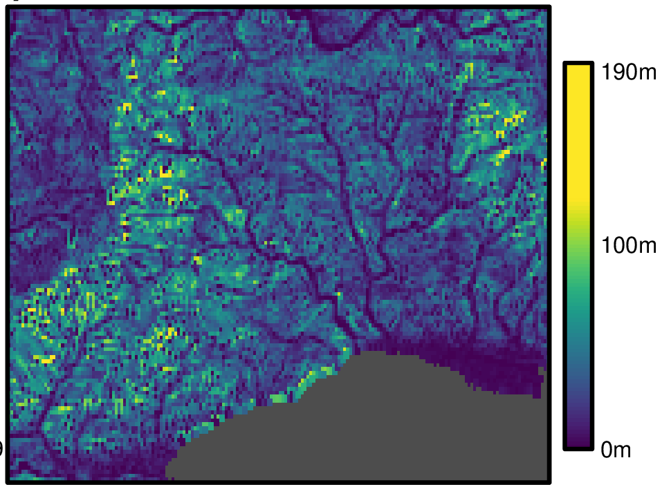
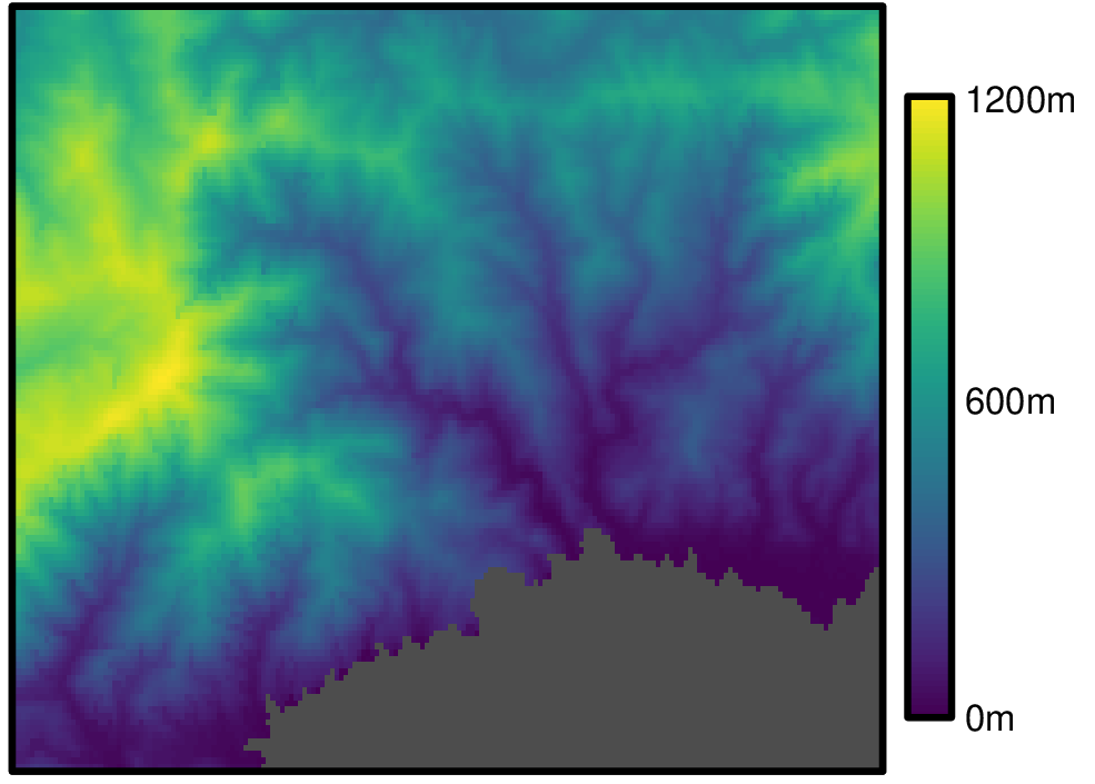
Input layers to derive the Hydrography90m: MERIT HYDRO DEM, depression. The MERIT HYDRO DEM can be directly download from the official MERIT HYDRO webpage The depression layer is stored at r.watershed archive folder directory.
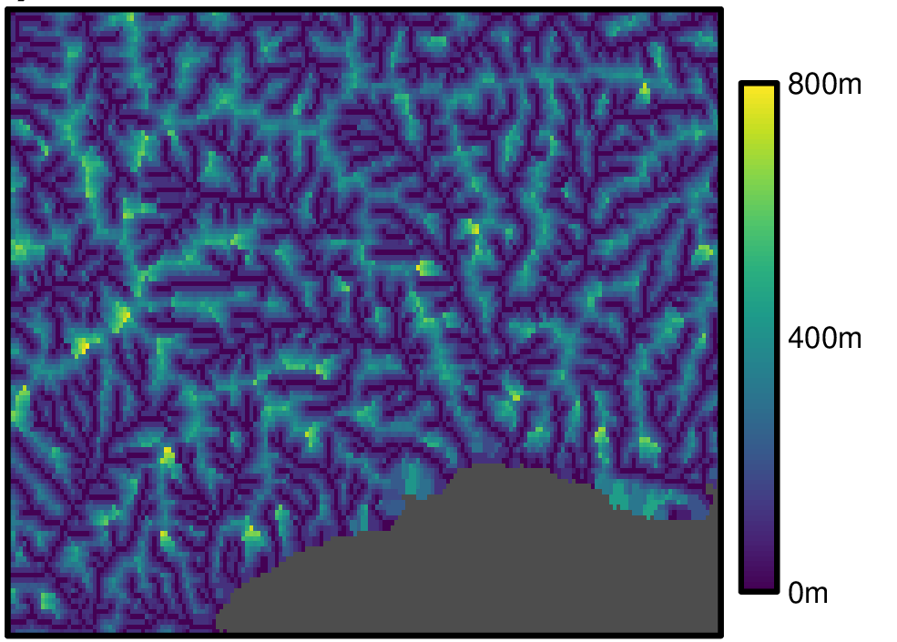
| Elevation | |
|---|---|
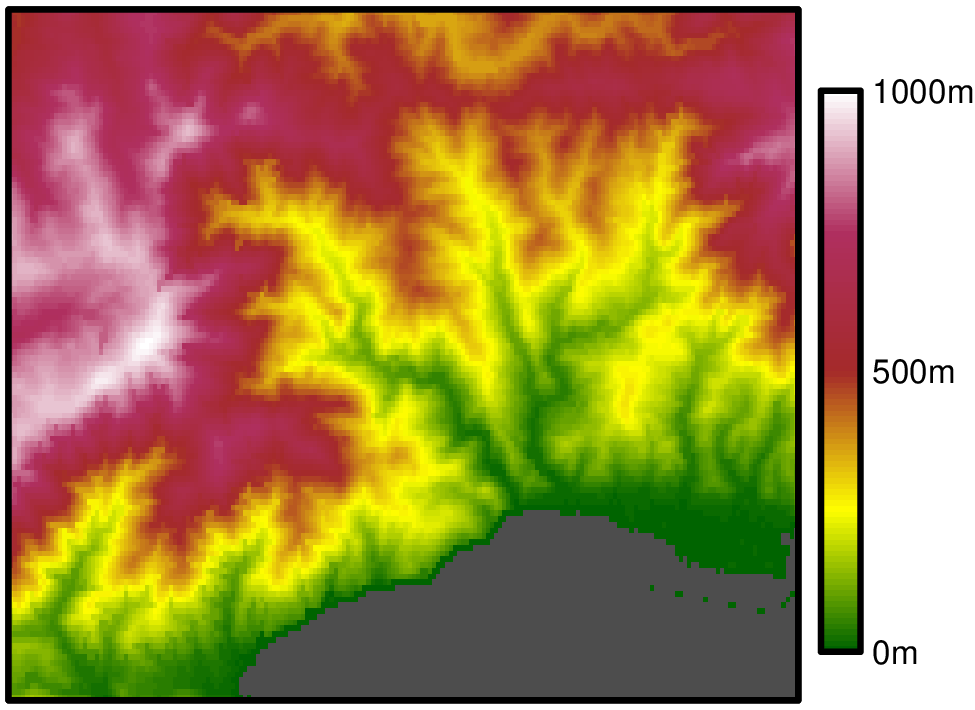 | |
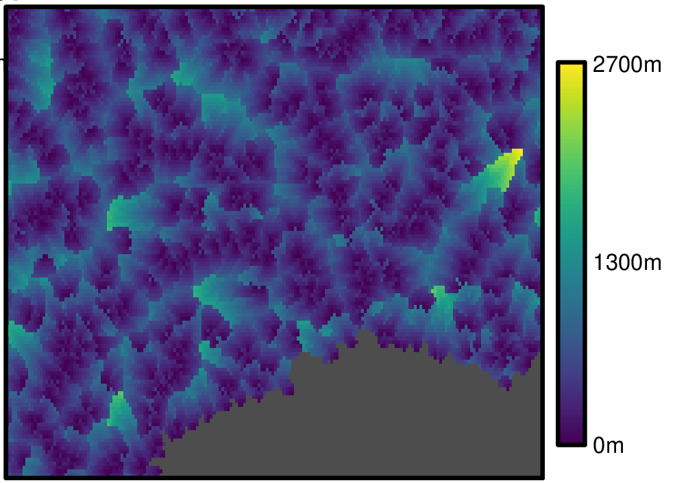
| Depression | |
| Depression areas not present in the study area. | |
Base layers
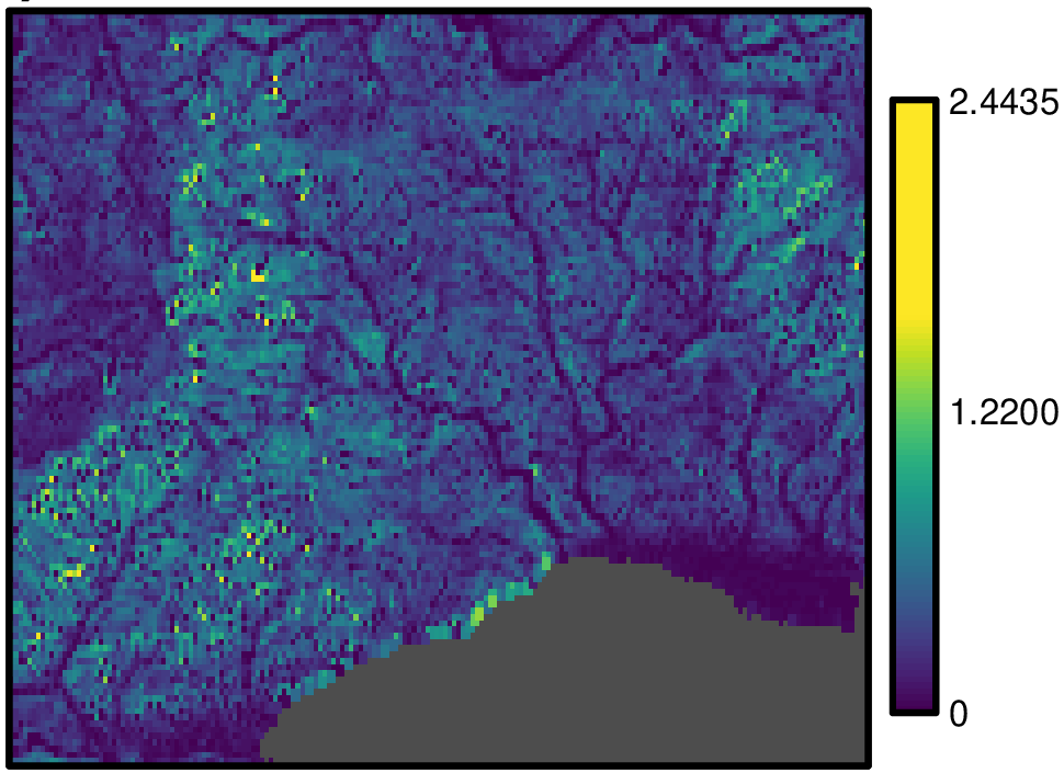
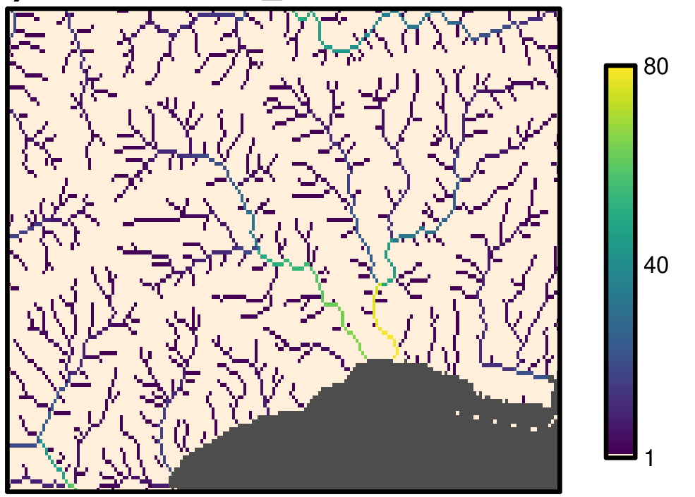
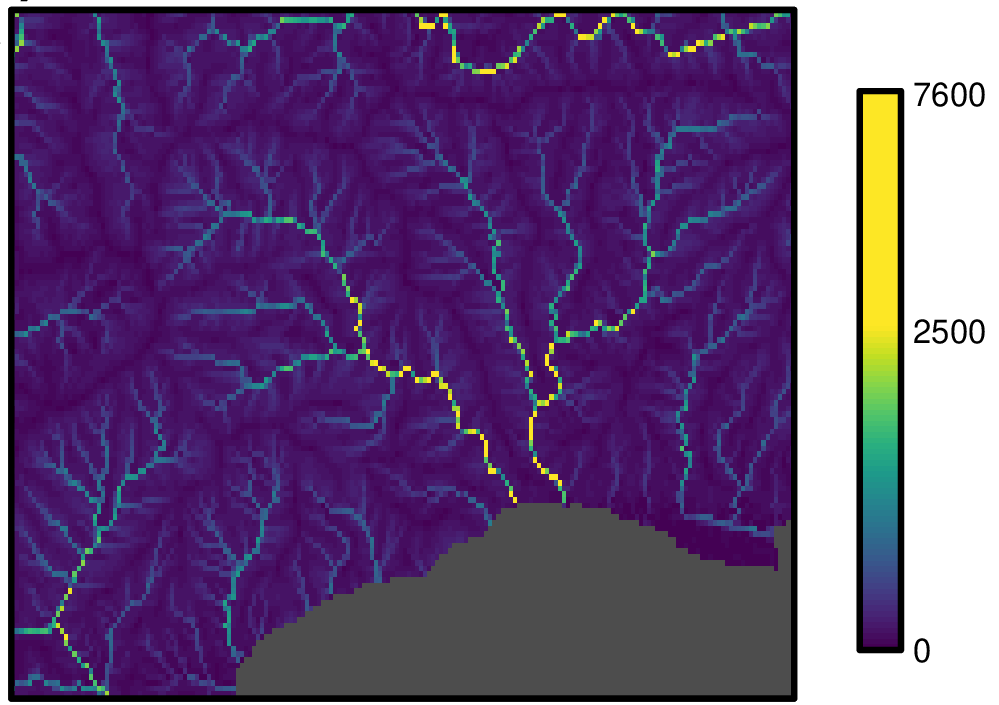
Base layers of Hydrography90m: flow accumulation, flow direction maps computed with the r.watershed GRASS GIS module. These files are stored in the r.watershed archive folder directory.
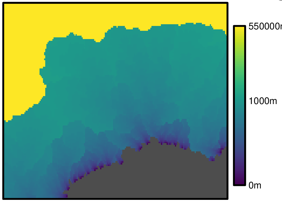
| Flow accumulation | |
|---|---|
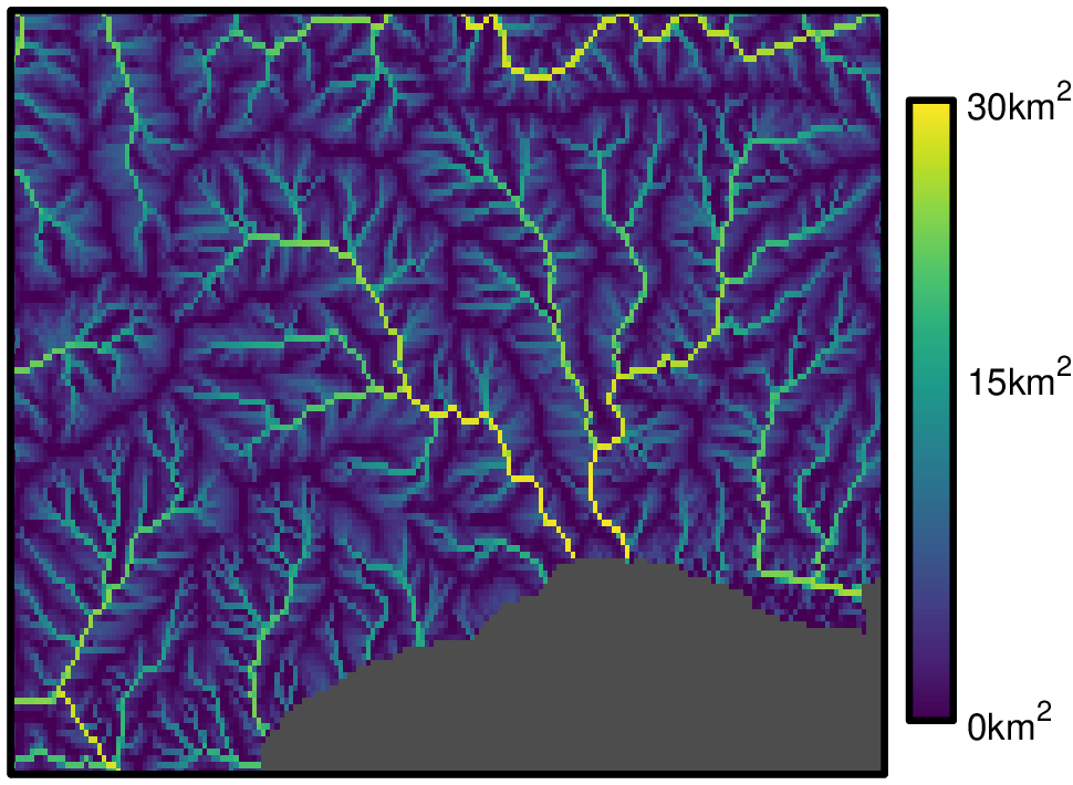 | |
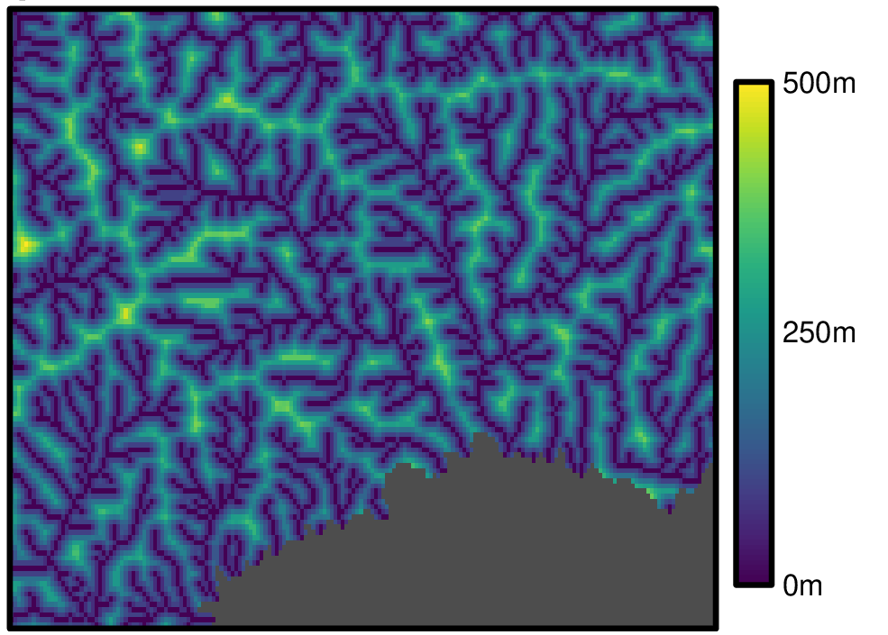
| Flow direction | |
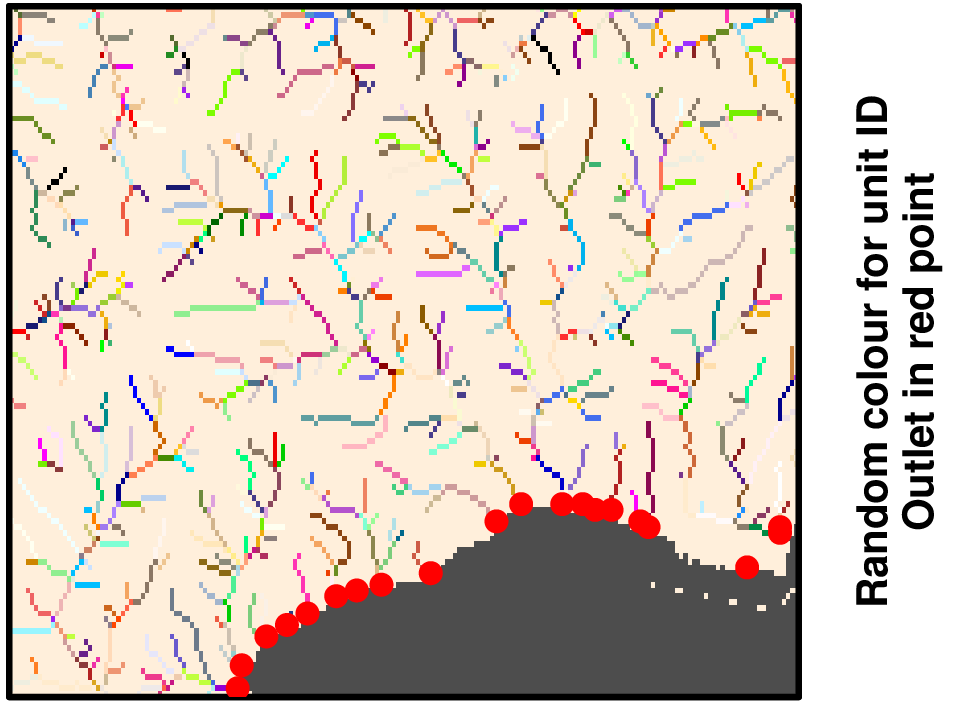
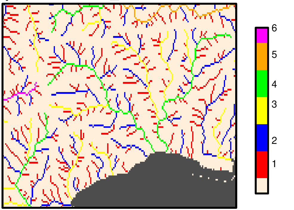
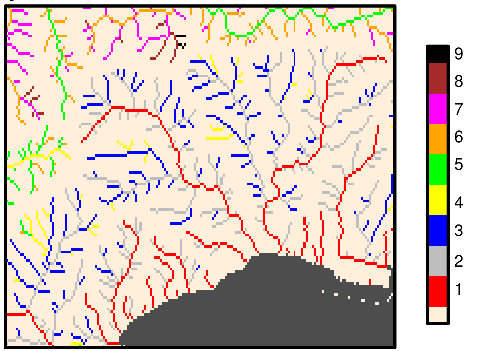
Network layers
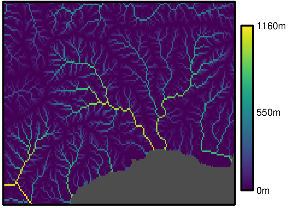
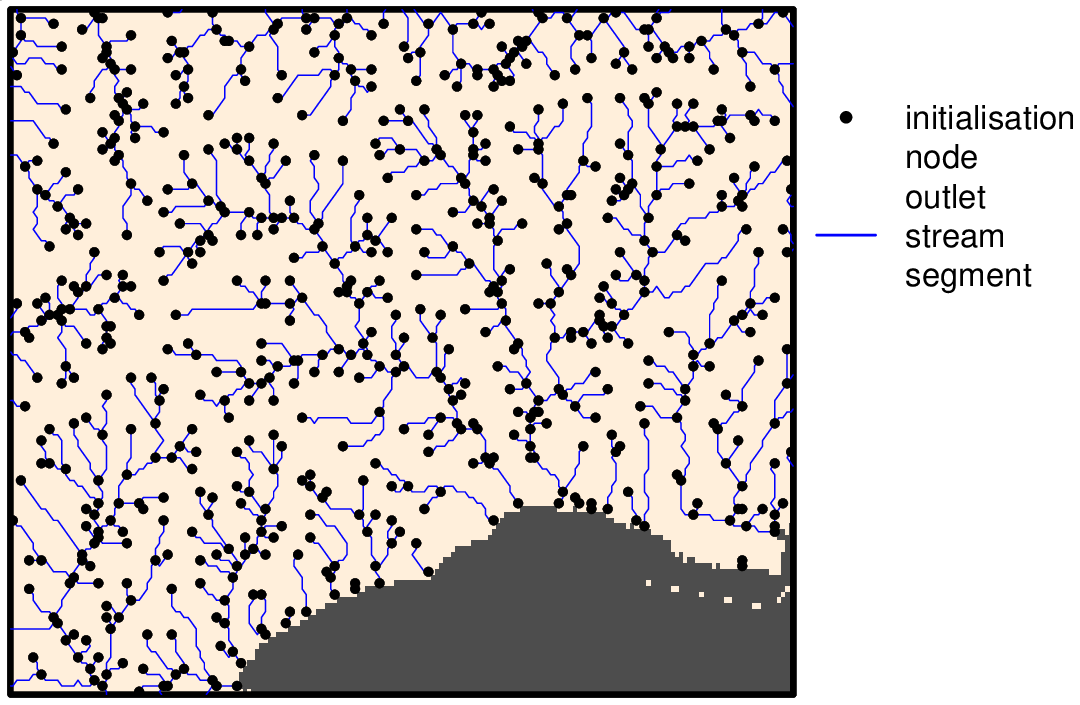
Network layers of Hydrography90m: drainage basins, stream segments, subcatchments, outlets maps computed with the r.stream.extract GRASS GIS module. These files are stored in the r.watershed archive folder directory.
| Drainage basin | |
|---|---|
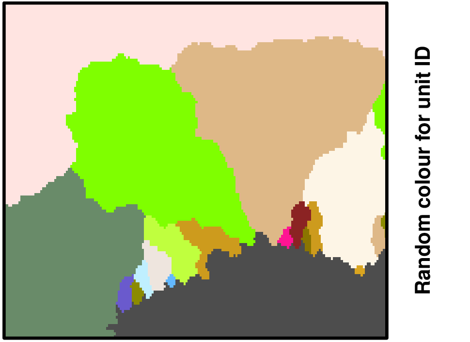 | |
| Stream segment | |
 | |
| Sub-catchment | |
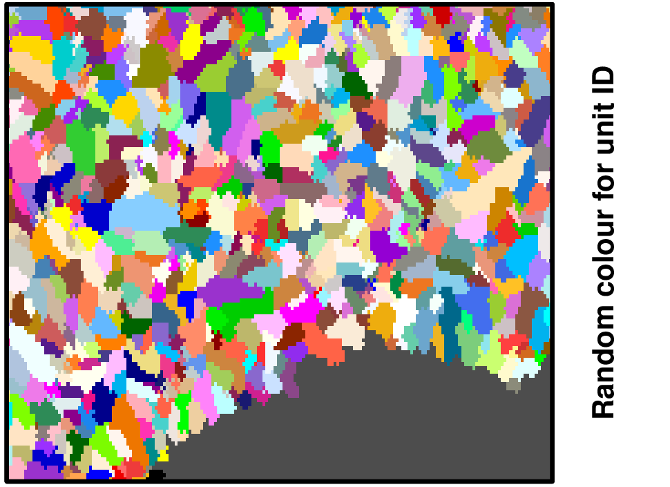 | |
| Outlet | |
| | |
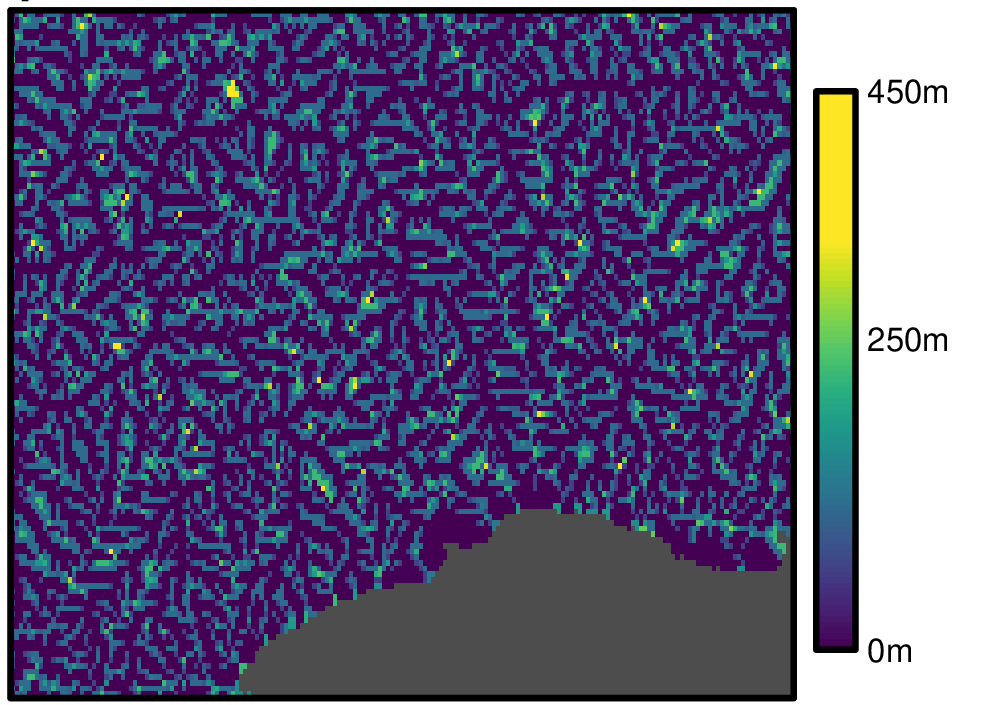
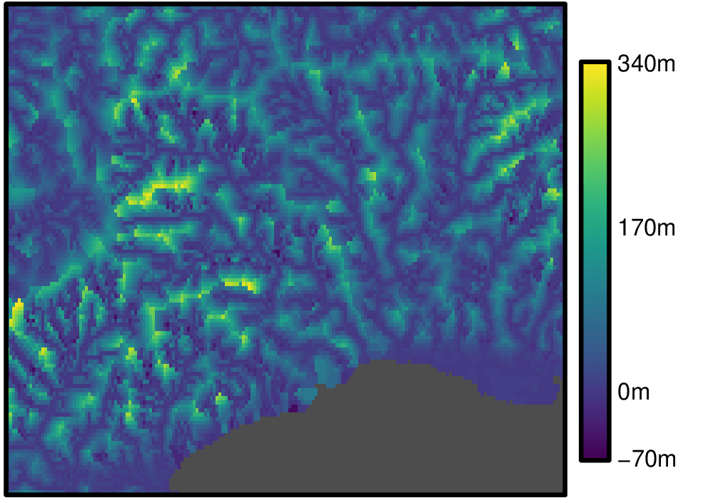
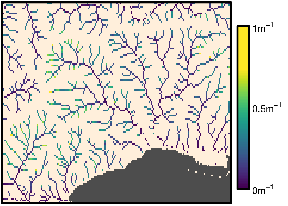
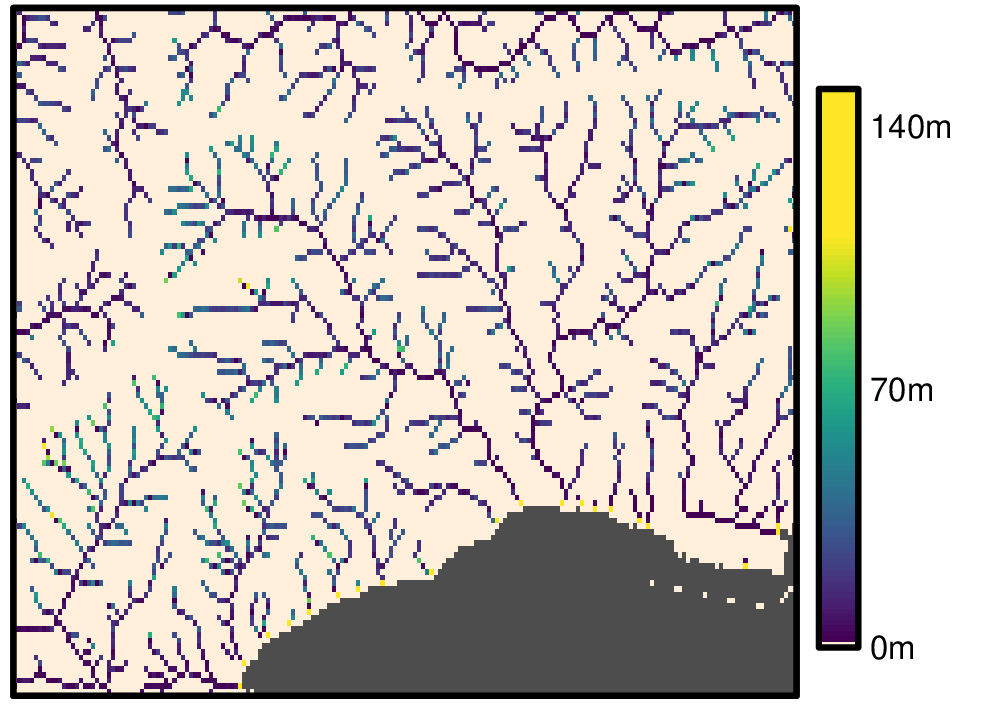
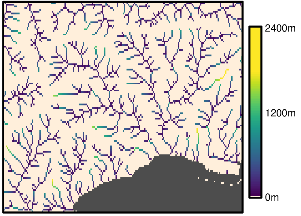
Stream slope layers
Stream slope of Hydrography90m: curvature, gradient (elevation difference divided by distance), and elevation difference raster maps computed with the r.stream.slope GRASS GIS module. These files are stored in the r.stream.slope archive folder.
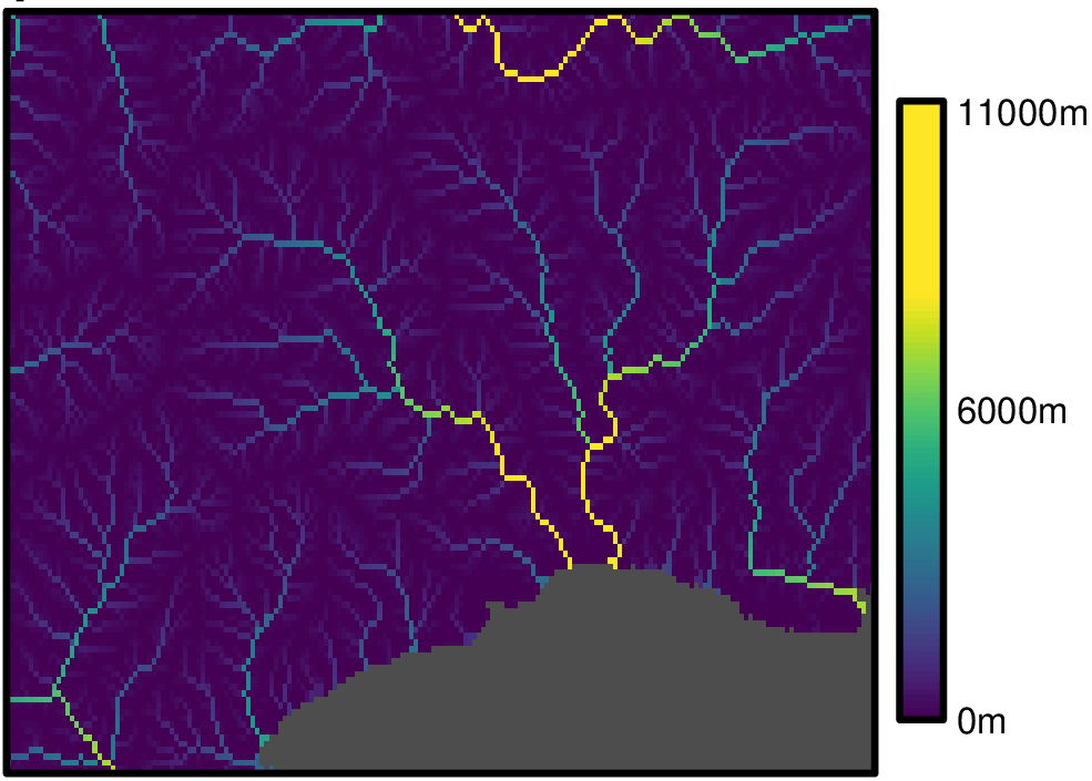
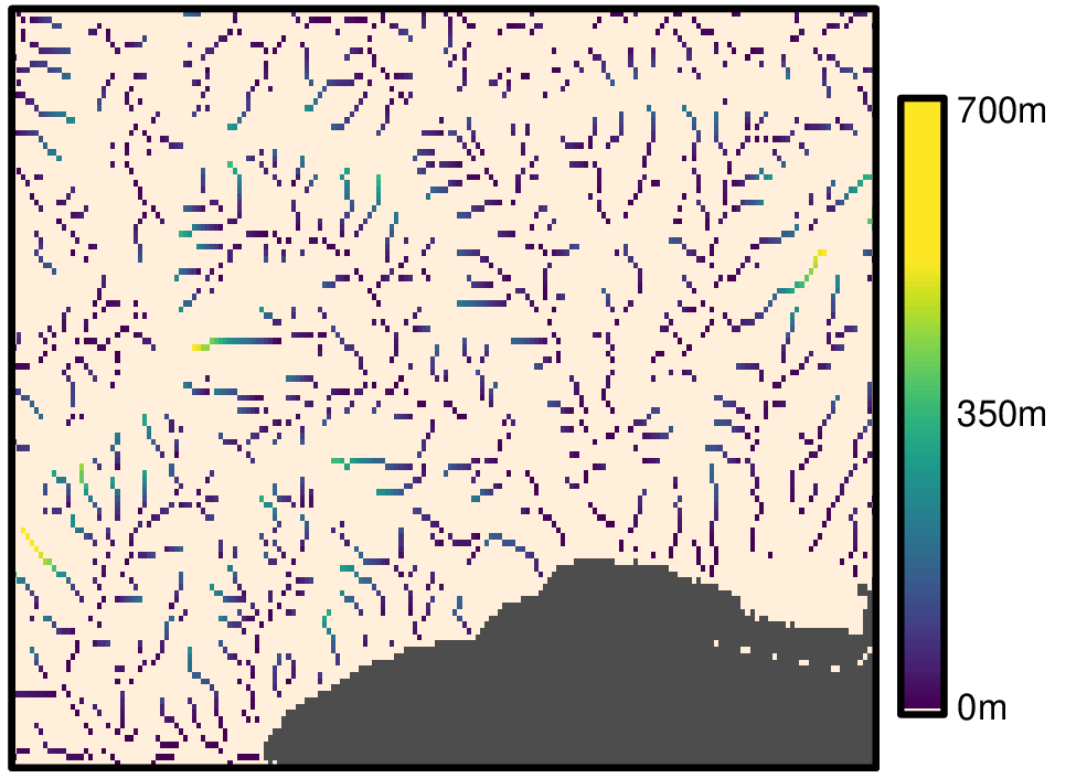
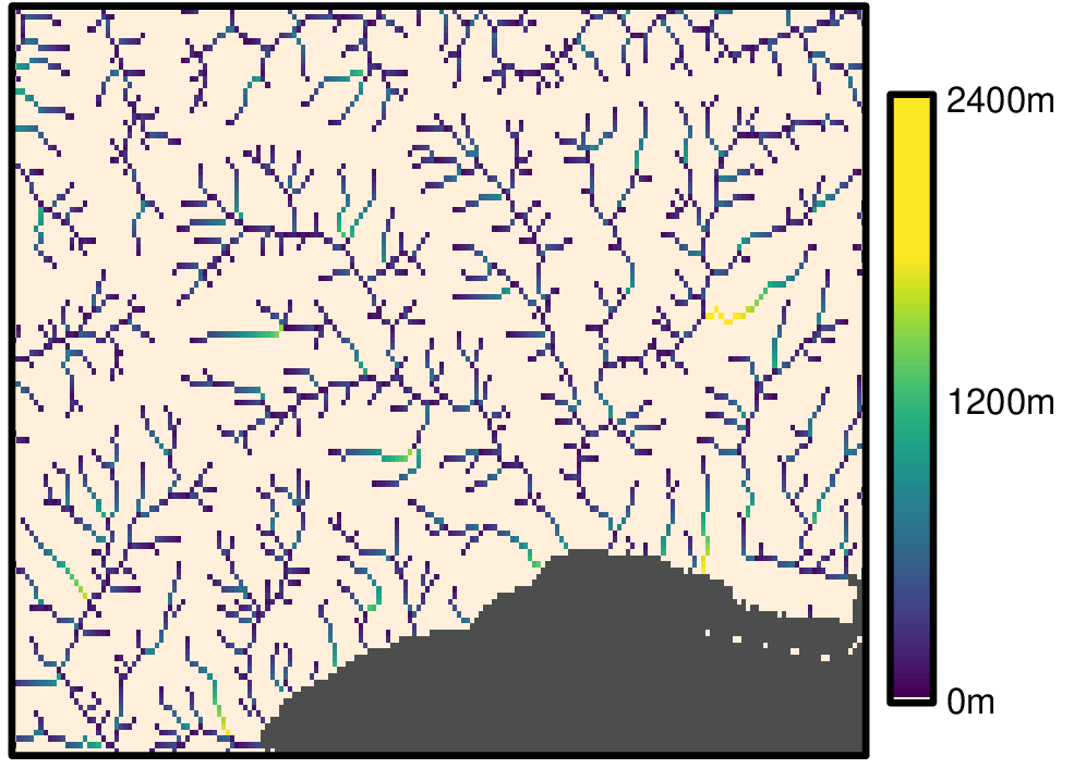
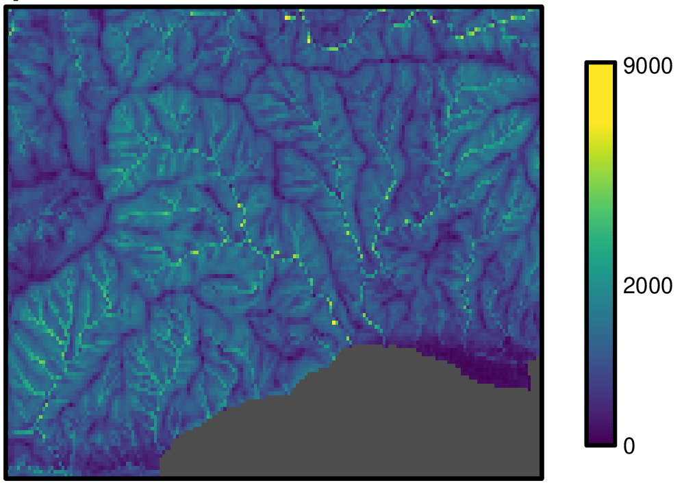
Stream distance layers
Stream/outlet distance of Hydrography90m: stream/outlet distance and elevation difference raster maps computed with the r.stream.distance GRASS GIS module. These files are stored in the r.stream.distance archive folder.
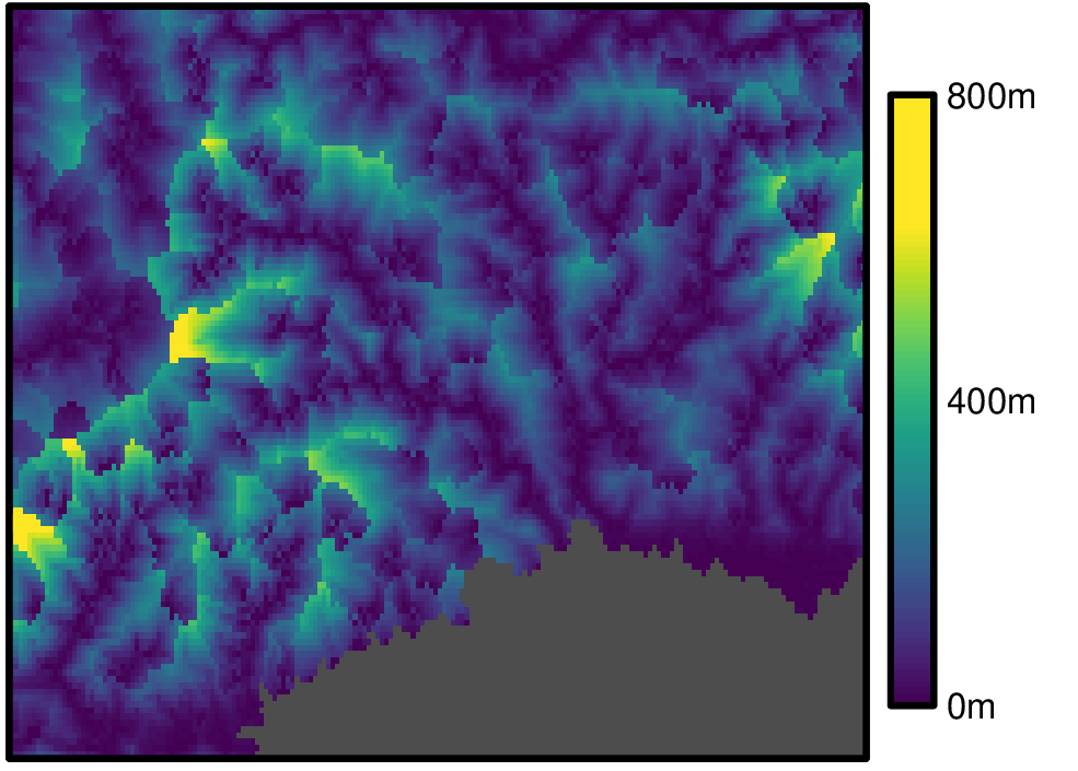
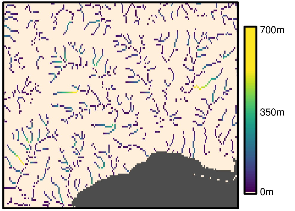
Elevation layers
The elevation difference raster maps are also computed with the r.stream.distance GRASS GIS module. These files are stored in the r.stream.distance archive folder.
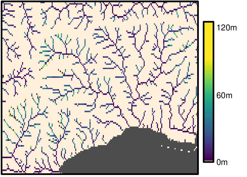
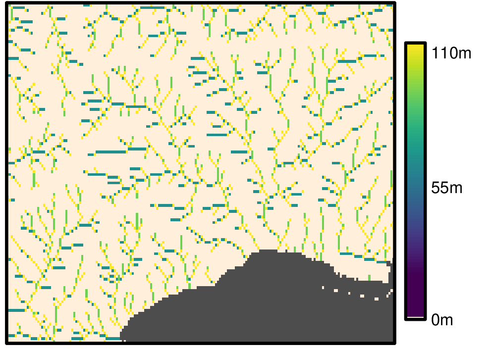
Stream segment properties layers
Stream segment properties of Hydrography90m: curvature, gradient (elevation difference divided by distance), and elevation change raster maps computed with the r.stream.channel GRASS GIS module. These files are stored in the r.stream.channel archive folder.
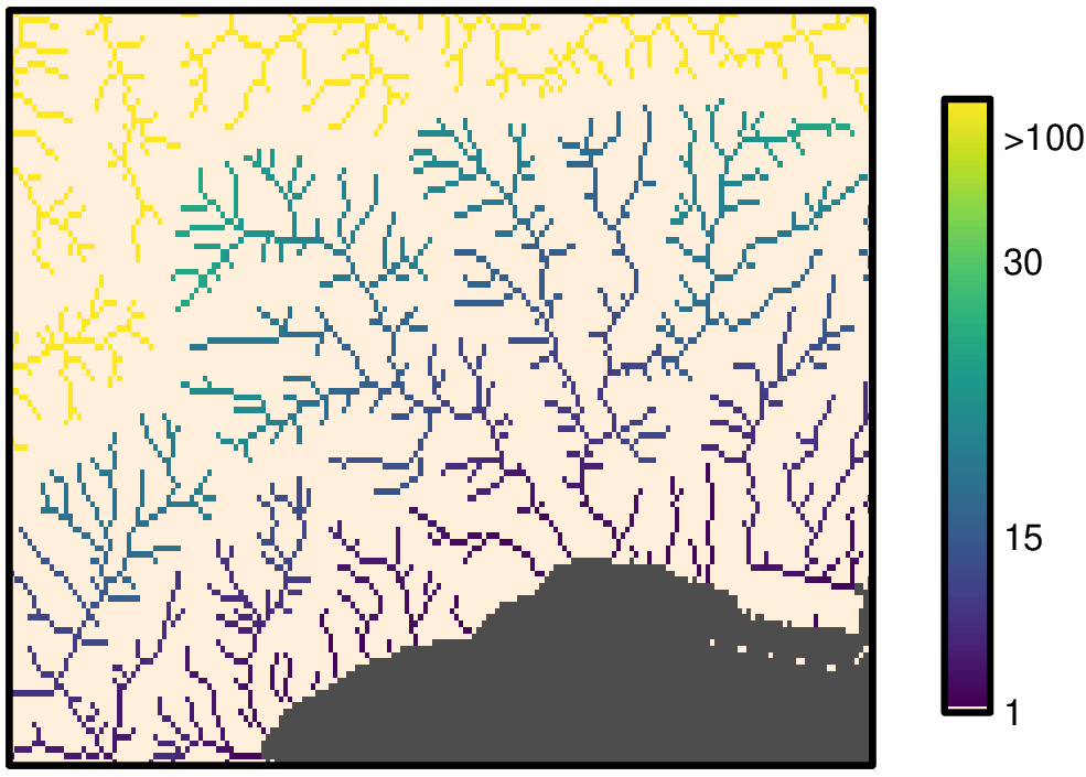
Stream order layers
Stream order of Hydrography90m: stream order raster and vector files computed with the r.stream.order GRASS GIS module. These files are stored in the r.stream.order archive folder.
| Strahler’s stream order | |
|---|---|
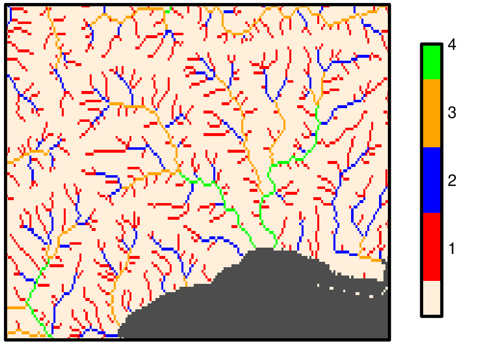 | |
| Shreve’s stream magnitude | |
 | |
| Horton’s stream order | |
 | |
| Hack’s stream order | |
 | |
| Topological dimension of streams | |
 | |
| All stream segments and nodes attributes | |
 | |
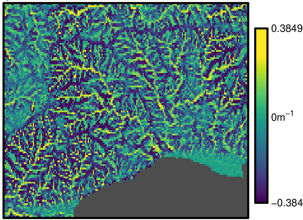
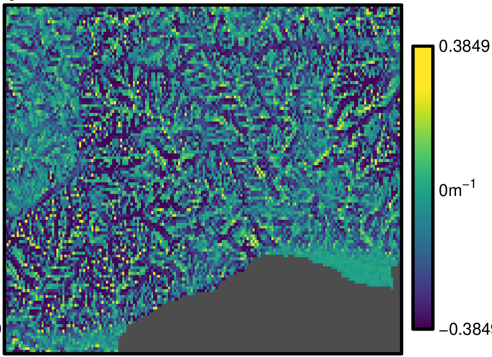
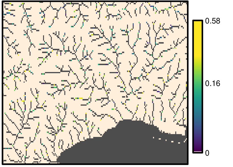
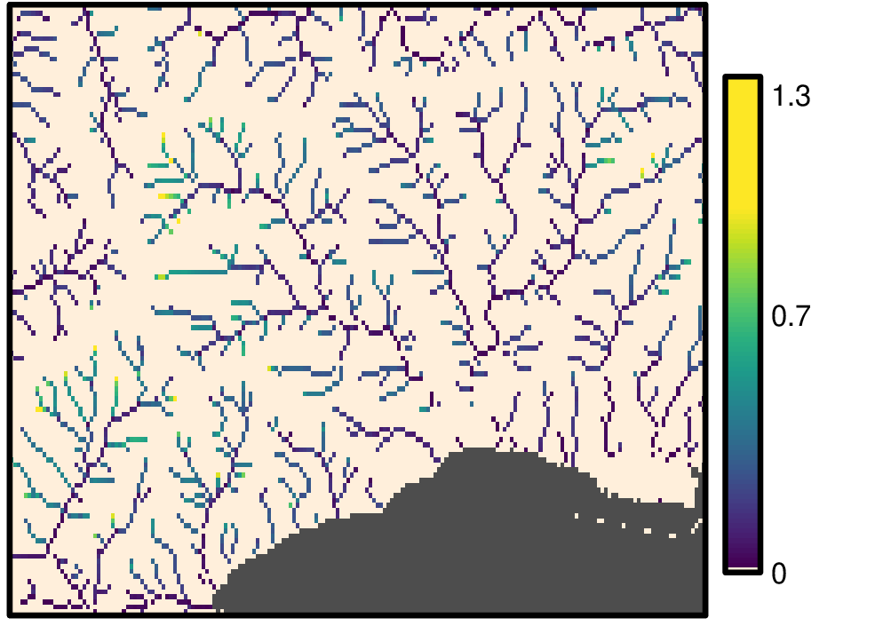
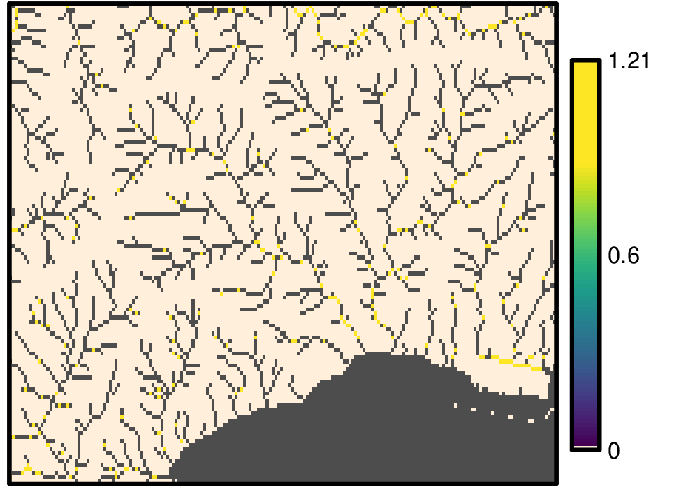
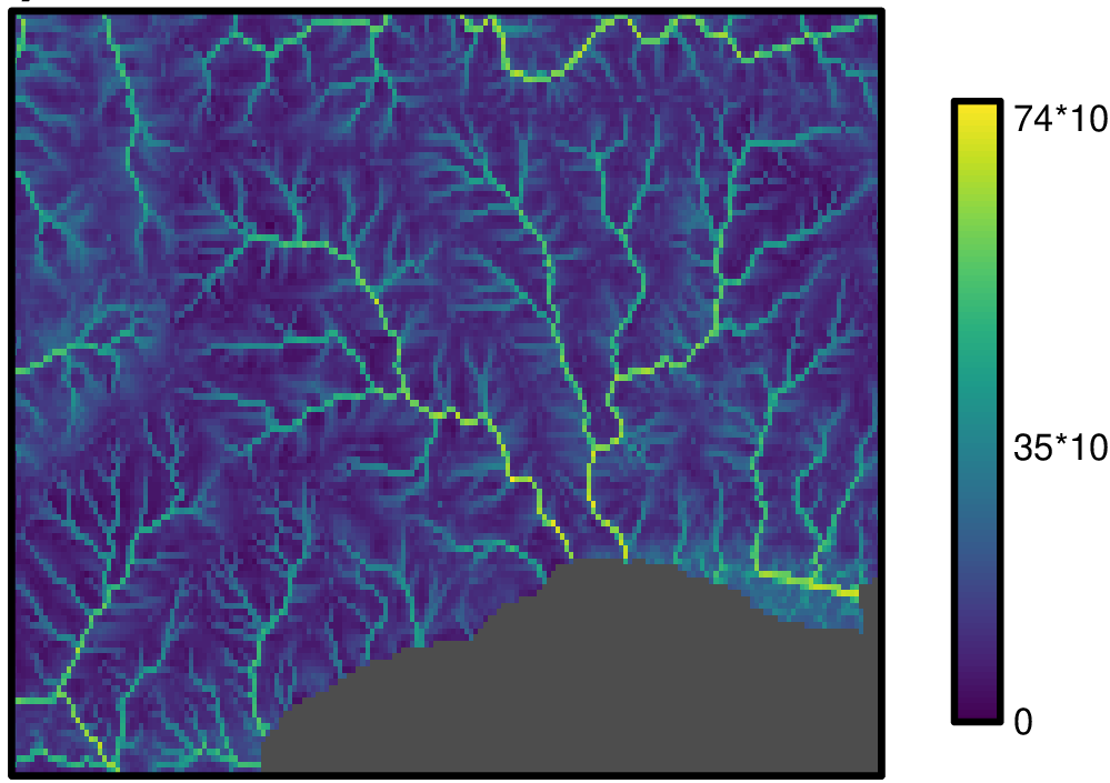
Flow index layers
Flow index of Hydrography90m: flow index computed using flow accumulation and terrain slope. These files are stored in the flow.index archive folder.
| Stream power index | |
|---|---|
 | |
| Stream transportation index (sti) | |
 | |
| Compound topographic index | |
 | |